Year 4
How people, places and environments interact, past and present
The Year 4 curriculum focuses on interactions between people, places and environments over time and space and the effects of these interactions. Students gain opportunities to expand their world knowledge and learn about the significance of environments, examining how people's need and want of resources over time has affected peoples, societies and environments. Specifically, students study European exploration and colonisation in Australia and elsewhere up to the early 1800s and life for Indigenous Australians pre- and post-contact. They examine the concept of sustainability, and its application to resource use and waste management, past and present, by different groups. The curriculum introduces the role of local government, laws and rules, and group belonging and how they meet people's needs. Themes of law and citizenship extend into their studies of diverse groups, the colonisation of Australia and other places, and how environmental sustainability is enacted.
The content provides opportunities for students to develop humanities and social sciences understanding through key concepts including significance; continuity and change; cause and effect; place and space; interconnections; roles, rights and responsibilities; and perspectives and action. These concepts may provide a focus for inquiries and be investigated across sub-strands or within a particular sub-strand context.
The content at this year level is organised into two strands: knowledge and understanding, and inquiry and skills. The knowledge and understanding strand draws from three sub-strands: history, geography and civics and citizenship. These strands (knowledge and understanding, and inquiry and skills) are interrelated and have been developed to be taught in an integrated way, which may include integrating with content from the sub-strands and from other learning areas, and in ways that are appropriate to specific local contexts. The order and detail in which they are taught are programming decisions.
Inquiry Questions
A framework for developing students' knowledge, understanding and skills is provided by inquiry questions. The following inquiry questions allow for connections to be made across the sub-strands and may be used or adapted to suit local contexts: inquiry questions are also provided for each sub-strand that may enable connections within the humanities and social sciences learning area or across other learning areas.
- How have laws affected the lives of people, past and present?
- What were the short- and long-term effects of European settlement on the local environment and Indigenous land and water management practices?
- What is the significance of the environment and what are different views on how it can be used and sustained, past and present?
(source: www.australiancurriculum.edu.au)
Achievement Standard
By the end of Year 4, students recognise the significance of events in bringing about change and the importance of the environment. They explain how and why life changed in the past and identify aspects of the past that have remained the same. They describe the experiences of an individual or group in the past. They describe and compare the diverse characteristics of different places at local to national scales. Students identify the interconnections between components of the environment and between people and the environment. They identify structures that support their local community and recognise the importance of laws in society. They describe factors that shape a person's identity and sense of belonging. They identify different views on how to respond to an issue or challenge.
Students develop questions to investigate. They locate and collect information and data from different sources, including observations to answer these questions. When examining information, they distinguish between facts and opinions and detect points of view. They interpret data and information to identify and describe distributions and simple patterns and draw conclusions. They share their points of view, respecting the views of others. Students sequence information about events and the lives of individuals in chronological order with reference to key dates. They sort, record and represent data in different formats, including large-scale maps using basic cartographic conventions. They reflect on their learning to propose action in response to an issue or challenge, and identify the possible effects of their proposed action. Students present ideas, findings and conclusions using discipline-specific terms in a range of communication forms.
(source: www.australiancurriculum.edu.au)
Achievement Standard
By the end of Year 4, students recognise the significance of events in bringing about change. They explain how and why life changed in the past and identify aspects of the past that have remained the same. They describe the experiences of an individual or group in the past.
Students sequence information about events and the lives of individuals in chronological order with reference to key dates. They develop questions about the past and locate, collect and sort information from different sources to answer these questions. They analyse sources to detect points of view. Students develop and present texts, including narrative recounts, using historical terms.
(source: www.australiancurriculum.edu.au)
Achievement Standard
By the end of Year 4, students describe the location of selected countries using compass direction. They describe and compare the characteristics of places in different locations at local to national scales. They identify the interconnections between components of the environment and between people and the environment. Students recognise the importance of the environment and identify different possible responses to a geographical challenge.
Students develop geographical questions to investigate and locate, collect and sort information and data from different sources to answer these questions. They record and represent data and the location of places and their characteristics in simple graphic forms, including large-scale maps that use the cartographic conventions of scale, legend, title and north point. They describe the location of places and their features using grid references and compass direction. Students interpret geographical data to identify spatial distributions and simple patterns and draw conclusions. They present findings using geographical terminology in a range of texts. They propose individual action in response to a local geographical challenge and identify some possible effects of their proposed action.
(source: www.australiancurriculum.edu.au)
Achievement Standard
By the end of Year 4, students identify structures and decisions that support their local community and recognise the importance of laws in society. They describe factors that shape a person's identity and sense of belonging.
Students develop questions about the society in which they live and locate and collect information from different sources to answer these questions. They examine information to distinguish between facts and opinions, identify points of view and to draw conclusions. They share their points of view, respecting the views of others, and identify the groups they belong to. Students present ideas and conclusions using discipline-specific terms in a range of communication forms.
(source: www.australiancurriculum.edu.au)
- Plus Plan
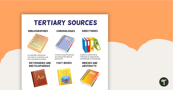
Tertiary Sources Poster (Version 2)
A poster highlighting some examples of tertiary sources.
- Plus Plan
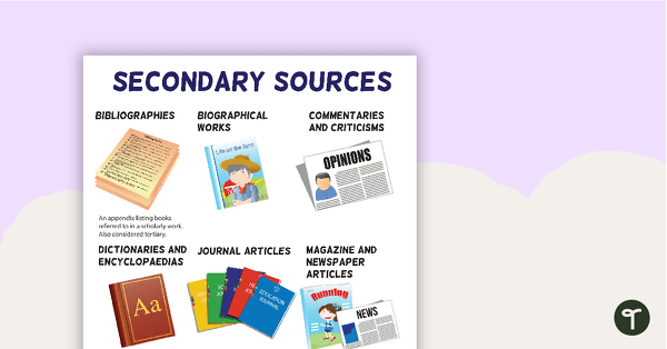
Secondary Sources Poster (Version 2)
A poster highlighting some examples of secondary sources.
- Plus Plan
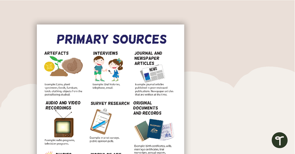
Primary Sources Poster (Version 2)
A poster highlighting some examples of primary sources.
- Plus Plan
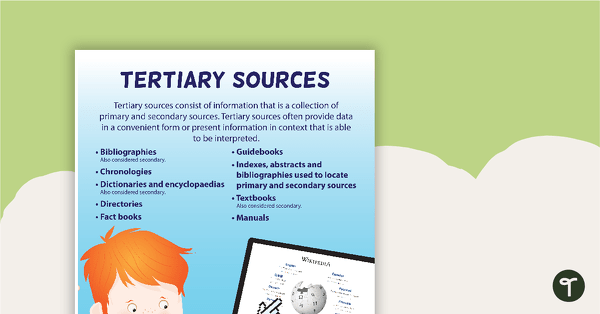
Tertiary Sources Poster
A poster providing the definition and some examples of tertiary sources.
- Plus Plan
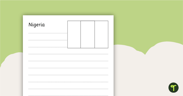
African Flags Worksheets - BW
Eight black and white worksheets with flags from Africa.
- Plus Plan
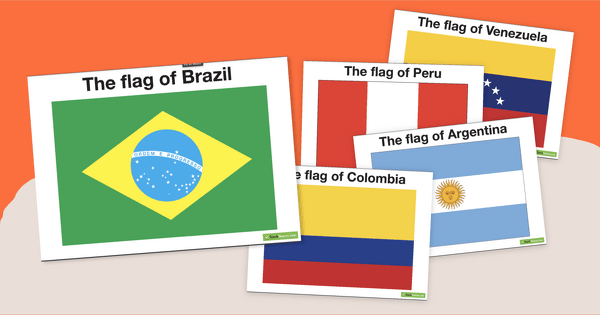
South American Flags
Decorate your travel-themed classroom with a set of fourteen flags from South America.
- Plus Plan
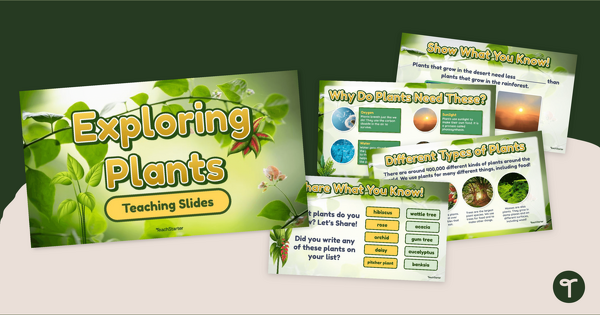
Exploring Plants PowerPoint
Explore the characteristics of plants in our environment with an interactive teaching slide presentation.
- Plus Plan
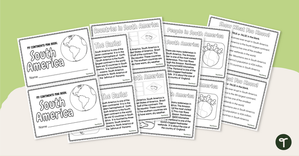
The Continent of South America - Mini-Book
Explore the wonders and delights of the continent of South America with this informative printable mini-book.
- Plus Plan
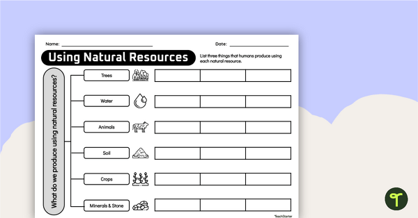
How Do We Use Natural Resources? Concept Map Worksheet
Help your students uncover the ways that humans use natural resources with a concept map.
- Plus Plan
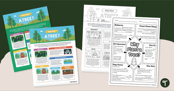
National Tree Day – Why Plant a Tree? Infographic Analysis Activity
Teach about the importance of trees on National Tree Day with an infographic poster and cloze note-taking worksheet.
- Plus Plan
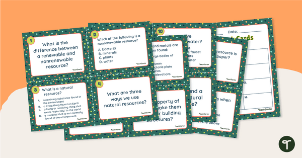
Natural Resources Task Cards
Answer questions about natural resources and their uses with this set of 16 task cards.
- Plus Plan
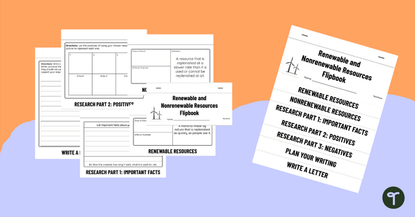
Renewable and Nonrenewable Resources Flipbook
Use this printable science flipbook with your students to research and write about a chosen natural resource.
- Plus Plan
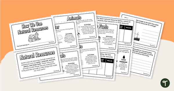
How We Use Natural Resources Printable Book
Read and learn about how we use natural resources with a printable mini-book.
- Plus Plan
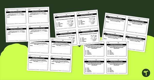
Natural Resources – Exit Tickets
Assess student understanding of natural resources with this set of exit tickets.
- Plus Plan
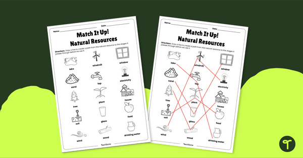
Match It Up! Natural Resources – Worksheet
Match natural resources with how they are used with the help of this worksheet.
- Plus Plan
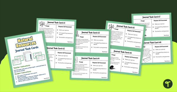
Natural Resources Task Cards - Journal Writing Prompts
Integrate science and writing while responding to specific scenarios regarding natural resources with this set of 24 journal task cards.
- Plus Plan
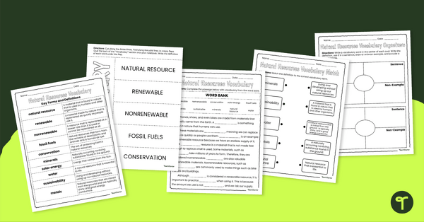
Natural Resources Vocabulary Worksheets
Practise and review vocabulary terms associated with natural resources with this worksheet pack.
- Plus Plan
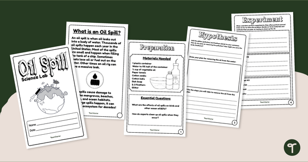
Oil Spill Science Experiment
Investigate water pollution and discover the effects of oil spills on wildlife with a hands-on science lab!
- Plus Plan
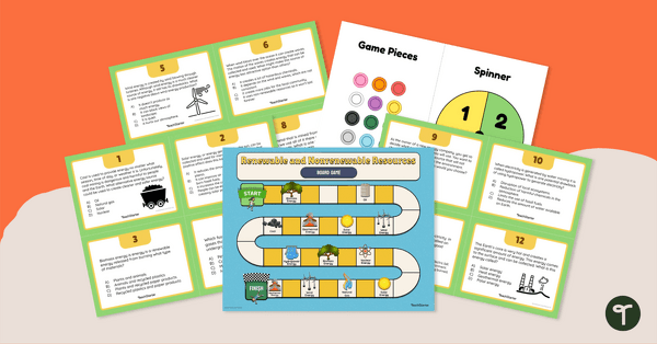
Renewable and Nonrenewable Resources – Board Game
Answer questions related to renewable and nonrenewable resources with this printable board game.
- Plus Plan
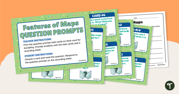
Features of Maps - Question Prompt Task Cards
Assess your students' understanding of the features of maps with this set of 16 question prompt task cards.
- Plus Plan
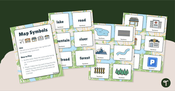
Map Symbols Match-Up Activity
Practise identifying the symbols found on a map with a map symbol matching activity.
- Plus Plan
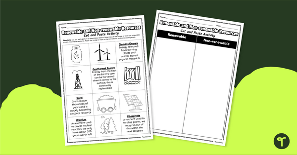
Renewable and Non-renewable Resources – Cut and Paste Worksheet
Sort renewable and non-renewable resources with this cut-and-paste worksheet.
- Plus Plan
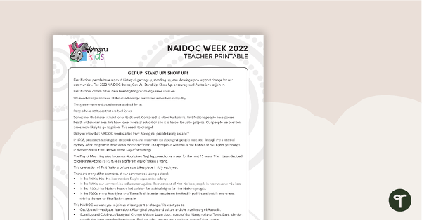
NAIDOC Week 2022 – Teacher Information Sheet
A teacher information sheet about the NAIDOC 2022 theme: “Get Up! Stand Up! Show Up!”
- Plus Plan
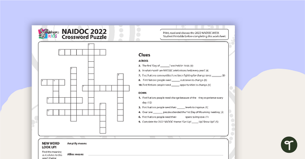
NAIDOC Week 2022 Crossword Puzzle
A student crossword puzzle based on the information sheet about the NAIDOC 2022 theme: “Get Up! Stand Up! Show Up!”
- Plus Plan
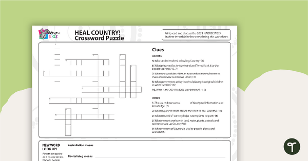
NAIDOC 2021 – Heal Country! - Crossword Puzzle
A puzzle related to key concepts of the NAIDOC theme.
- Plus Plan
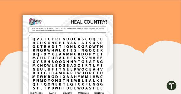
NAIDOC 2021 – Heal Country! - Word Search (Upper Years)
A puzzle related to key concepts of the NAIDOC theme.
- Plus Plan
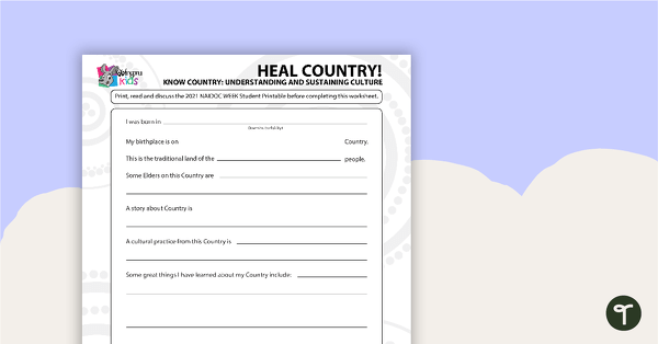
NAIDOC 2021 – Heal Country! - Worksheet (Middle/Upper Years)
A worksheet for students to reflect on the NAIDOC theme as it relates to them.
- Plus Plan
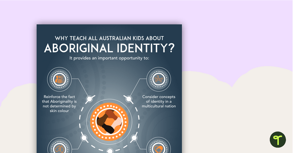
Why Teach About Aboriginal Identity? Poster
An educational poster providing a rationale for teaching Australian children about Aboriginal identity.
- Plus Plan
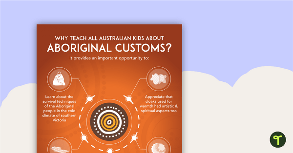
Why Teach About Aboriginal Customs? Poster
An educational poster providing a rationale for teaching Australian children about Aboriginal customs.
- Plus Plan
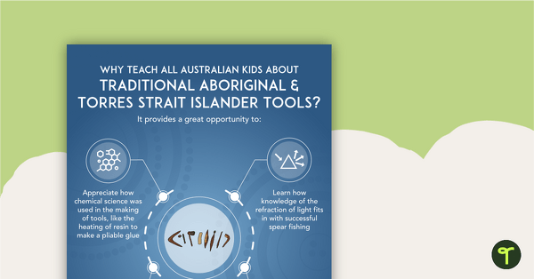
Why Teach About Aboriginal and Torres Strait Islander Tools? Poster
An educational poster providing a rationale for teaching Australian children about traditional Aboriginal and Torres Strait Islander tools.
- Plus Plan
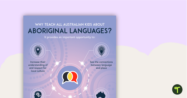
Why Teach About Aboriginal Languages? Poster
An educational poster providing a rationale for teaching Australian children about Aboriginal languages.
- Plus Plan
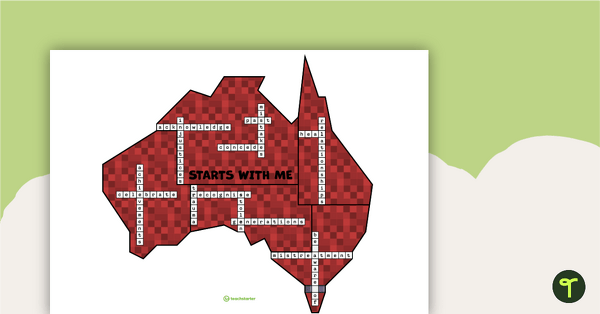
Piecing Australia Together – A Reconciliation Puzzle
A puzzle to assemble when learning about National Sorry Day.