Cartesian Planes Teaching Resources
Explore Cartesian plane worksheets for plotting points, grid games, digital activities and more teacher-created resources created to make teaching this graphing concept fun and engaging this school year!
This collection of curriculum-aligned and editable teacher-created resources has been carefully reviewed by the expert teachers on the Teach Starter team to ensure every single one is ready to use in the classroom. That means you can save hours on lesson planning with activities ready to print or use digitally!
Are you looking to learn more about this graph-focused section of the maths curriculum, or just on the hunt for fresh ideas and activities to engage your students? Read on for a primer from our teacher team, including a look at the meaning of Cartesian plan, how students plot points on them and some key vocabulary!
What Is a Cartesian Plane? A Kid-Friendly Definition
We'll start off by defining this maths tool so you can explain what it means to your students.
A Cartesian plane is a two-dimensional plane that consists of two perpendicular number lines — called the x-axis and y-axis — that intersect at a point called the origin.
Cartesian planes can also be called:
- Coordinate planes
- Coordinate grids
In maths class, we use these planes to locate points in space using coordinates or ordered pairs of numbers (x, y):
- The x-coordinate on the plane represents the horizontal position of a point. The section of the x-axis extending from the origin point toward the right represents positive integers, while the section extending from the origin point to the left represents negative integers.
- The y-coordinate on the plane represents the vertical position of a point. In this case, the section of the y-axis extending from the origin point toward the bottom of the top represents positive integers, while the section extending from the origin point to the bottom of your graph paper represents negative integers.
What Are Cartesian Plane Quadrants?
When you create a coordinate plane with perpendicular lines, you aren't just creating two axes. You're also separating the grid or graphing paper into open-ended box-like shapes.
These are called quadrants, the word we use for the four sections of the coordinate plane that are formed by the x-axis and y-axis.

Four quadrants of the Cartesian plane are labelled above.
How Many Quadrants Are in a Coordinate Plane?
Any coordinate plane will have the same number of quadrants — four — and they will always be set up in the same way. They're also often labelled with Roman numerals.
- Quadrant I —The upper right-hand quadrant where both x and y coordinates are positive is considered quadrant I or quadrant 1.
- Quadrant II —The upper left-hand quadrant where x coordinates are negative, and y coordinates are positive is considered quadrant II or quadrant 2.
- Quadrant III — The lower left-hand quadrant where both x and y coordinates are negative is called quadrant III or quadrant 3.
- Quadrant IV —The lower right-hand quadrant where x coordinates are positive, and y coordinates are negative is called quadrant IV or quadrant 4.
How Do You Plot Points on a Coordinate Grid?
In upper primary, most students learn how to plot points on a coordinate plane. Plotting points is the act of locating and marking a point on the Cartesian plane by using its x and y coordinates.
But what's a point? In this context, the word 'point' refers to the location in space that can be defined by its coordinates — essentially, its position on a coordinate plane.
When students look at the two-dimensional coordinate plane, the point they're plotting is represented by an ordered pair of numbers (x, y), where x represents the horizontal coordinate, and y represents the vertical coordinate.
Learning to plot those points in the upper years helps kids visualise the relationship between variables now so they can dig into more complex geometry and data analysis in secondary school and beyond.
In secondary school, for example, students will move into graphing linear functions and inequalities on their coordinate planes.
Cartesian Plane Activities for the Classroom
This collection of worksheets and activities is full of ideas from our teacher team to get your students engaged in their coordinate planes, but here are a few more that you may want to add to your teacher toolkit!
- City Design — Get your future architects excited to design a city with a small group project! Groups can work together to build their own cities on a coordinate plane. They can include buildings, roads, landmarks ... the limit is only their imagination. This activity helps students develop their teamwork and build their spatial reasoning skills.
- Coordinate Race — Split the class into teams, and provide each team with a set of coordinates. The first team to correctly plot all of the coordinates on their plane and connect them to form a shape wins the race and hopefully a prize from you!
- Plus Plan
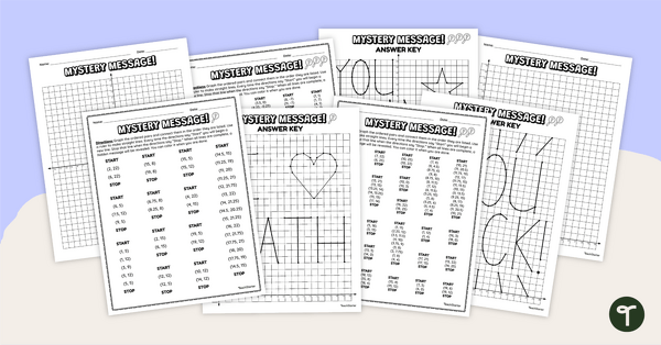
Coordinate Grid Mystery Pictures
Practise graphing ordered pairs with this set of differentiated coordinate grid mystery pictures.
- Plus Plan
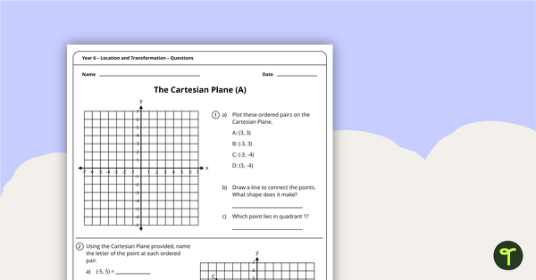
Location and Transformation Worksheets - Year 6
4 location and transformation worksheets linked to the Australian Curriculum.
- Plus Plan
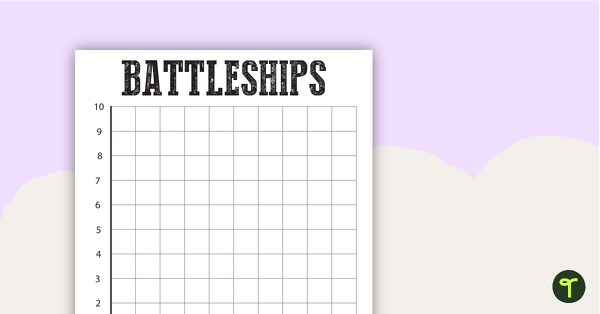
Battleships Grid Template
A template to help consolidate students' understanding of coordinates.
- Plus Plan
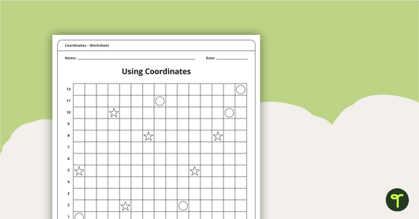
Coordinates Worksheet Pack
An 11-page worksheet pack teaching children about coordinates.
- Plus Plan
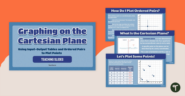
Graphing on the Cartesian Plane Teaching Slides
Teach your students how to plot points on a graph using ordered pairs from input-output tables with this set of teaching slides.
- Free Plan
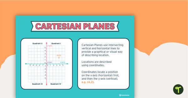
Cartesian Plane Poster
A poster that explains the features of Cartesian Planes.
- Plus Plan
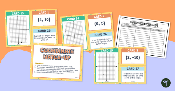
Coordinate Matching Activity for Year 6
Practise identifying coordinates and describing the process for graphing with a year 6 matching activity.
- Plus Plan
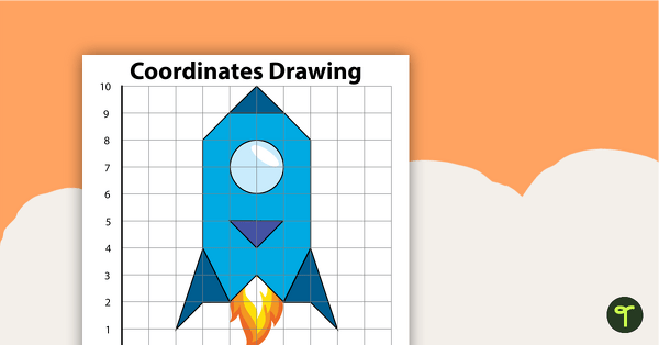
Coordinates Drawing - Rocket
Students create this rocket by following the directions.
- Plus Plan
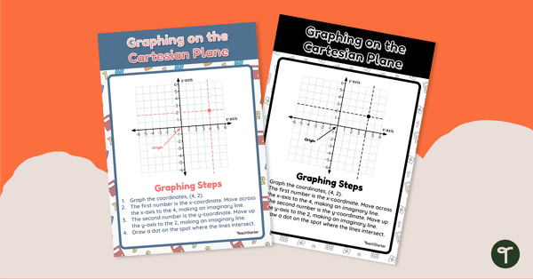
Graphing on the Cartesian Plane
Use this maths poster with your students when learning about graphing on a Cartesian plane.
- Plus Plan
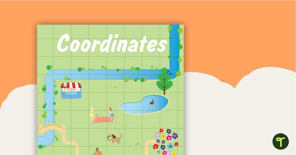
Coordinates Posters
Two posters to display in your classroom explaining coordinates.
- Plus Plan
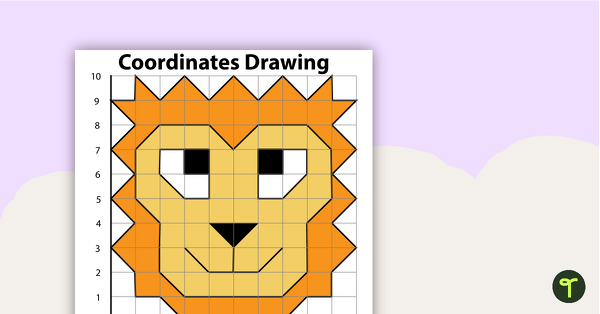
Coordinates Drawing - Lion
Students create this lion by following the directions.
- Plus Plan
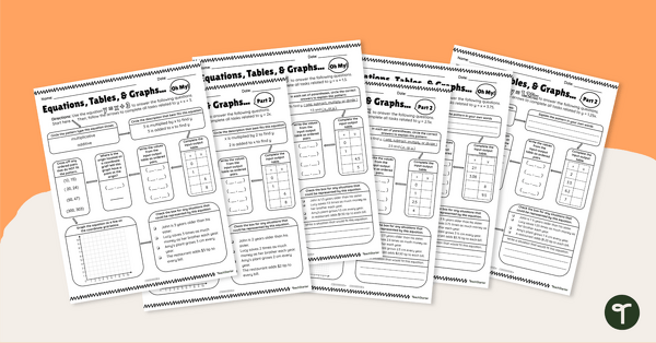
Equations, Tables, and Graphs, Oh My! – Differentiated Worksheets
Use these differentiated worksheets to practise using equations to create patterns within input-output tables and graphs.
- Plus Plan
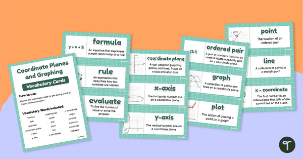
Coordinate Planes and Graphing – Vocabulary Cards
Promote maths vocabulary development with this set of 18 graphing and coordinate plane cards.
- Plus Plan
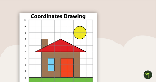
Coordinates Drawing - House
Students create this house by following the directions.
- Plus Plan
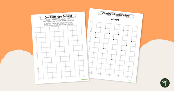
Valentine's Day Coordinate Plane Graphing
Plot 18 ordered pairs to reveal a surprise Valentine’s Day picture.