Maps Teaching Resources
A collection of maps resources to use when learning about different countries and their position within the world. The educational teaching resources provided include maps, worksheets, vocabulary word walls, timelines and posters. Also included are worksheets and information about the features of maps and the concepts of latitude and longitude.
- Plus Plan
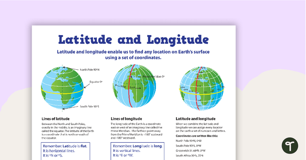
Latitude and Longitude Poster
Use this educational poster when students are learning about geographical coordinates, latitude and longitude.
- Plus Plan
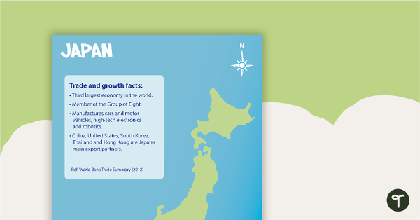
Japan Profile Poster Pack
A pack of 5 posters about Japan – suitable for your Geography or LOTE classroom.
- Plus Plan
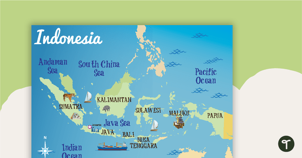
Indonesia Profile Poster Pack
A pack of 10 posters about Indonesia – suitable for your Geography or LOTE classroom.
- Plus Plan
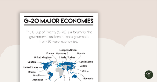
G-20 Major Economies Overview Poster
A basic overview of the group of countries which make up the G-20 Major Economies.
- Plus Plan
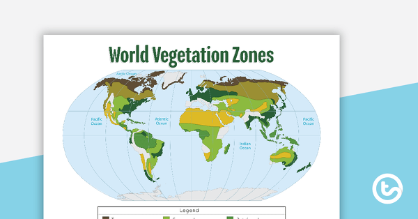
Map of the World's Vegetation Zones
A poster to display in the classroom when locating the different vegetation zones of the world.
- Plus Plan
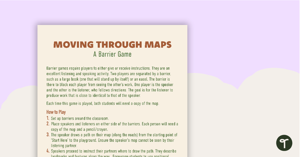
Moving Through Maps Game
An activity for students to use when learning about basic mapping skills.
- Plus Plan
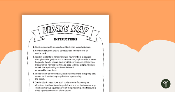
Pirate Mapping Skills Worksheet
A worksheet to use when learning about basic mapping skills.
- Plus Plan
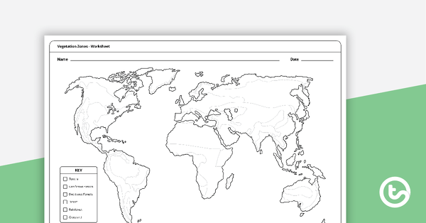
Vegetation Zones Mapping Template
A 1 page worksheet for students to use when learning about different vegetation zones around the world.
- Plus Plan
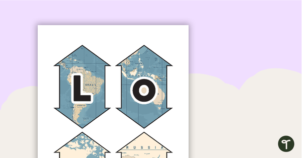
Latitude and Longitude Banners
Latitude and longitude banners to display in the classroom when studying geography.
- Plus Plan
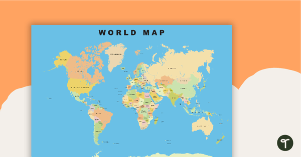
World Map
Show your students the map of the world with countries and bodies of water.
- Plus Plan
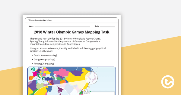
2018 Winter Olympic Games Mapping Task Worksheet
A one page worksheet to use when learning about the geographical location of the 2018 Winter Olympics.
- Plus Plan
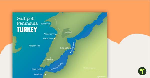
World War One Maps
A set of maps to use in the classroom when learning about WW1.
- Plus Plan
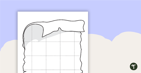
Blank Pirate Map Templates
Three blank map templates.
- Plus Plan
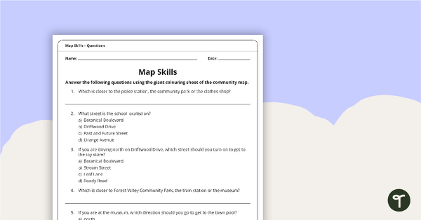
Giant Colouring Sheet – Community Map Skills Worksheet
An activity to practise map skills using a giant map of a community.
- Plus Plan
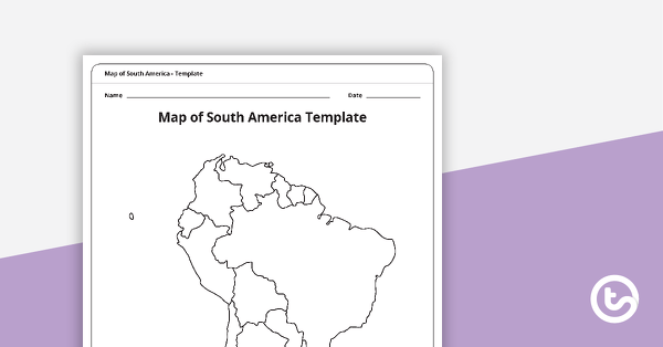
Map of South America Template
A blank map of South America to use during Geography lessons.
- Plus Plan
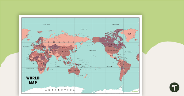
World Map Poster
An extensive map of the world.
- Plus Plan
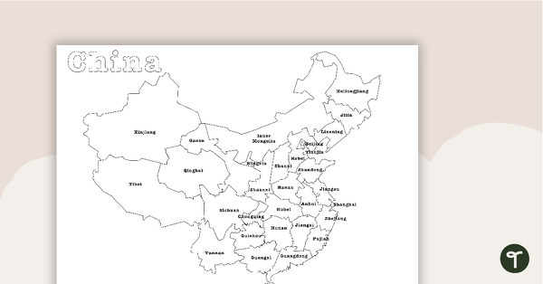
Map of China - BW
A map showing the regions of China.
- Plus Plan
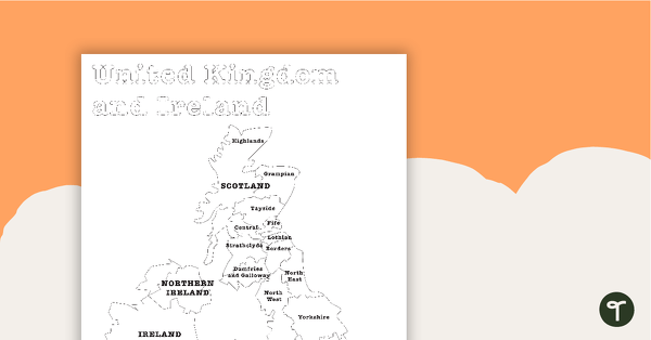
Map of the United Kingdom and Ireland - BW
A map showing the regions of the United Kingdom and Ireland.
- Plus Plan
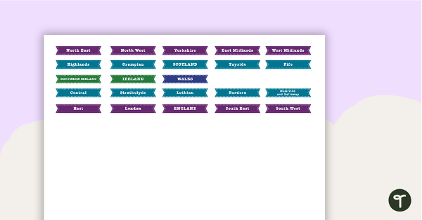
Map of The United Kingdom and Ireland Puzzle
A map puzzle containing basic locations to introduce students to the regions of the United Kingdom and Ireland.
- Plus Plan
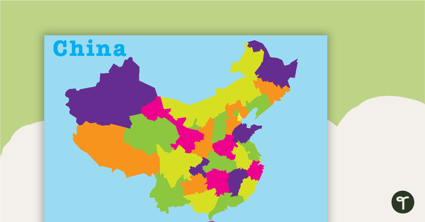
Map of China Puzzle
A map puzzle containing basic locations to introduce students to the regions of China.
- Plus Plan
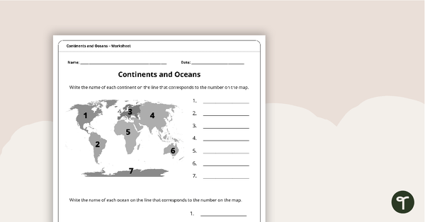
Continents and Oceans Worksheet
A worksheet to practise identifying the 7 continents and 5 oceans.
- Plus Plan
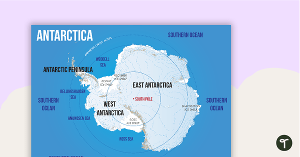
Map of Antarctica
A map showing the layout and major features of Antarctica.
- Plus Plan
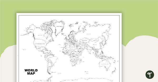
World Map (Black and White Version)
Black and white world map showing countries, oceans and seas.
- Plus Plan
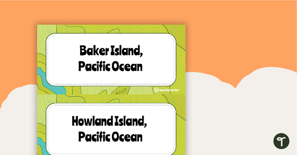
Time Zone Locations Around the World Display
A classroom display showing the different time zones around the world and locations which belong within each time zone.
- Plus Plan
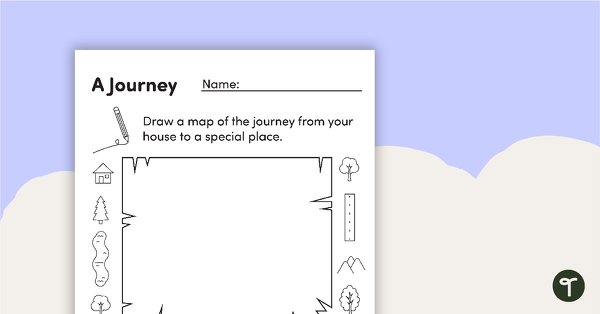
Mapping A Journey – Worksheet
A worksheet that allows students to create a map of a journey when exploring local places.
- Plus Plan
Greece
A 60-minute lesson in which students learn how people lived in and adapted to the Mediterranean environment in Greece.
- Plus Plan
Egypt
A 60-minute lesson in which students learn how people lived in and adapted to the desert environment in Egypt.
- Plus Plan
Mapping Our World
A 60-minute lesson in which students recap their prior knowledge of materials and their physical features.
- Plus Plan
India
A 60-minute lesson in which students learn how people lived in and adapted to the environment in India.
- Plus Plan
Australia
A 60-minute lesson in which students learn how people lived in and adapted to the environment in Australia.
- Plus Plan
The Andes Mountains
A 60-minute lesson in which students learn how people lived in and adapted to the alpine environment in the Andes Mountains.
- Plus Plan
Assessment: Acclimatised Civilisations – Inquiry Project
An inquiry project designed to assess students’ knowledge and understanding of cultures and the environments they have adapted to.