Geography Teaching Resources for 3rd Grade
- Plus Plan
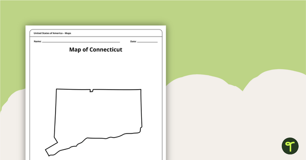
Map of Connecticut Template
A blank map of Connecticut to use during Geography lessons.
- Plus Plan
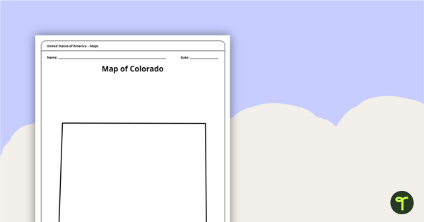
Map of Colorado Template
A blank map of Colorado to use during Geography lessons.
- Plus Plan
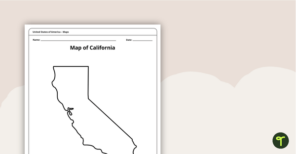
Blank Map of California Template
A blank map of California to use during Geography lessons.
- Plus Plan
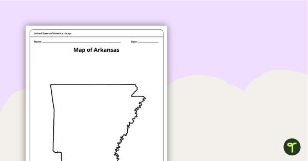
Map of Arkansas Template
A blank map of Arkansas to use during Geography lessons.
- Plus Plan
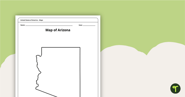
Map of Arizona Template
A blank map of Arizona to use during Geography lessons.
- Plus Plan
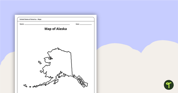
Printable Map of Alaska - Outline
Print an Alaska state map outline to jump-start your students into state research projects.
- Plus Plan
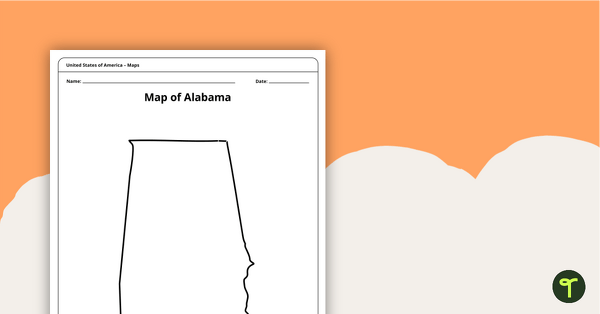
Alabama State Map Template
Download a blank map of Alabama for the classroom. The printable PDF is perfect for student research projects and map skills lessons.
- Plus Plan
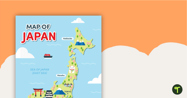
Map of Japan
A map of Japan featuring the names of the main islands and well-known landmarks.
- Plus Plan
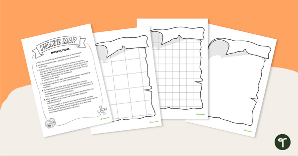
Treasure Island - Mapping Skills Worksheet
Put mapping skills into practice by creating a map of a treasure island!
- Plus Plan
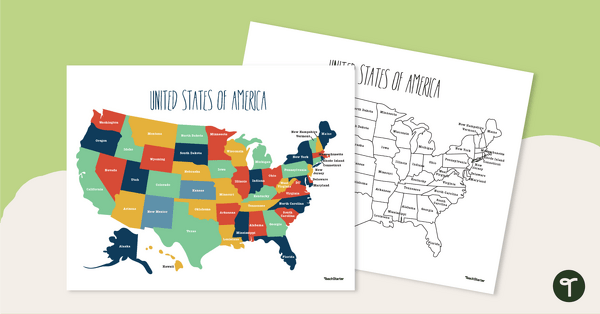
Labeled Map of the United States
Teach your students about the geography of the United States of America with this detailed map.
- Plus Plan
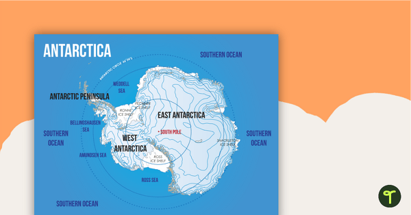
Map of Antarctica
A map showing the layout and major features of Antarctica.
- Plus Plan
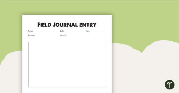
Field Journal Entry Worksheet
A journal entry worksheet to use during field work.
- Plus Plan
Desert Page Border
A page border with a desert theme.
- Plus Plan
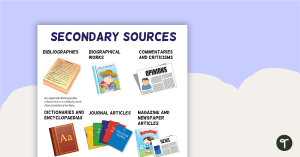
Secondary Sources Poster (Version 2)
A poster highlighting some examples of secondary sources.
- Plus Plan
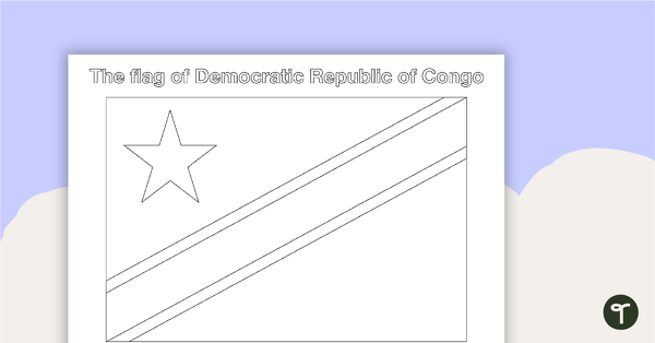
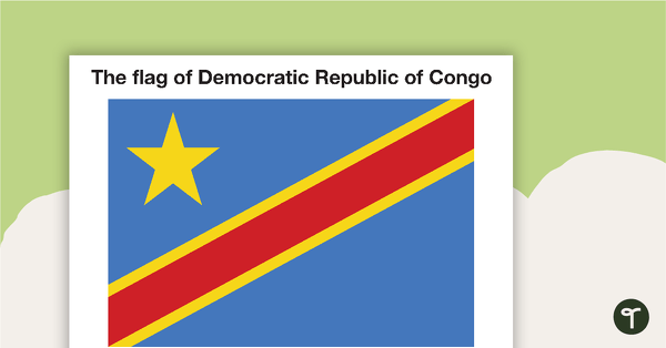
African Flags - BW
Eight black and white flags from Africa.
- Plus Plan
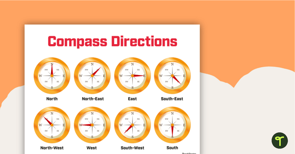
Cardinal and Intermediate Directions Poster
Display this cardinal and intermediate directions poster when exploring the compass rose with your students.
- Plus Plan
Tertiary Sources Poster (Alternate Version)
A poster providing the definition and some examples of tertiary sources.
- Plus Plan
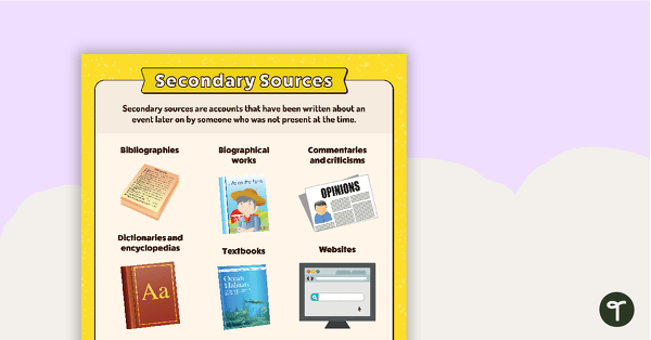
Secondary Sources Poster (Alternate Version)
A poster providing the definition and some examples of secondary sources.
- Plus Plan
Primary Sources - Firsthand Account Anchor Chart
Teach your students about primary sources and firsthand accounts with a printable primary source document anchor chart.
- Plus Plan
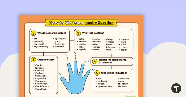
How to Write an Inquiry Question Poster
A poster demonstrating the steps involved in formulating a question for inquiry-based learning.
- Plus Plan
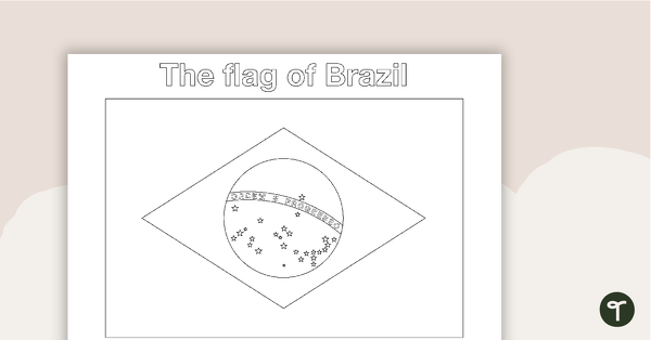
South American Flags - BW
Fourteen black and white flags from South America.
- Plus Plan
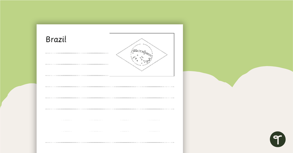
South American Flags Worksheets - BW
Fourteen black and white worksheets with flags from South America.
- Plus Plan
African Flags - Color
Eight colored flags from Africa.
- Plus Plan
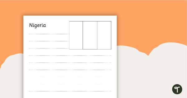
African Flags Worksheets - BW
Eight black and white worksheets with flags from Africa.
- Plus Plan
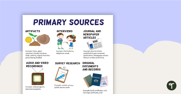
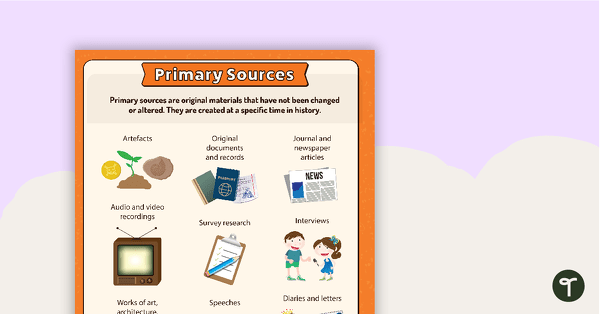
Primary Sources Poster (Version 2)
A poster highlighting some examples of primary sources.
- Plus Plan
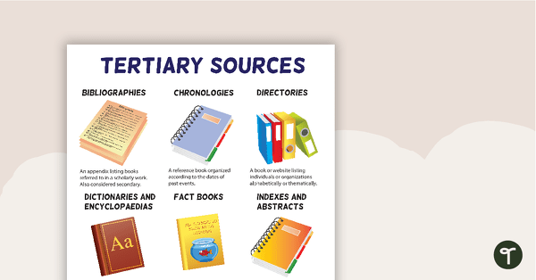
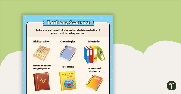
Tertiary Sources Poster (Version 2)
A poster highlighting some examples of tertiary sources.
- Plus Plan
North American Flags Worksheets - BW
Seventeen black and white worksheets with flags from North America.
- Plus Plan
Asian Flags Worksheets - BW
Thirty-seven black and white worksheets with a selection of flags from Asia.
- Plus Plan
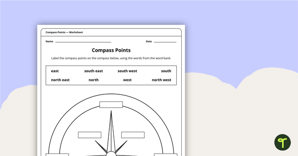
Compass Points Worksheet
A worksheet showing the 8 major compass points.
- Plus Plan
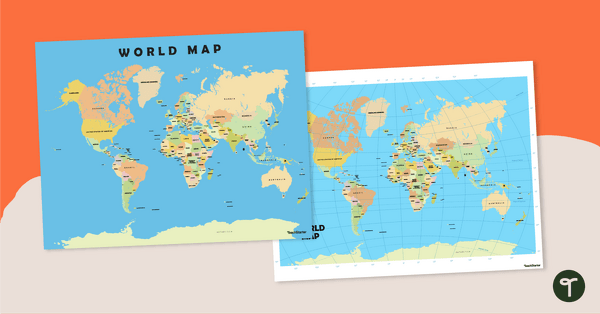
World Map Poster
Teach your students about the continents and countries of the world with this detailed map.
- Plus Plan
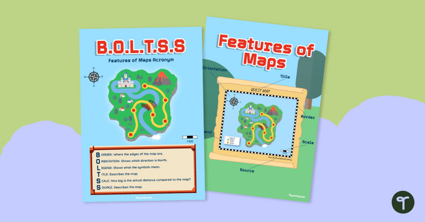
Features of Maps Posters - B.O.L.T.S.S
Explore the features of maps using this set of colorful classroom posters.
- Plus Plan

Blank Map of the World
Teach your students about the world’s seven continents and five oceans with this blank map of the world for labeling.