Geography Teaching Resources for 5th Grade
- Plus Plan
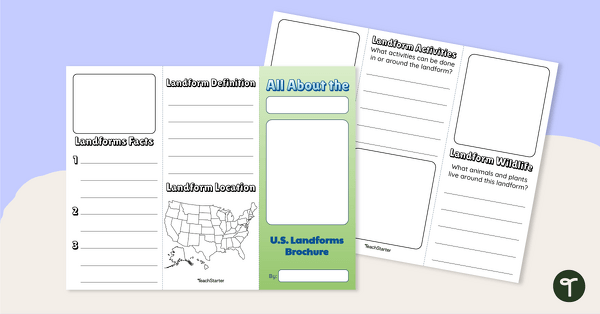
U.S. Landforms Brochure
Research and present knowledge of famous landforms in the United States with a brochure project.
- Plus Plan
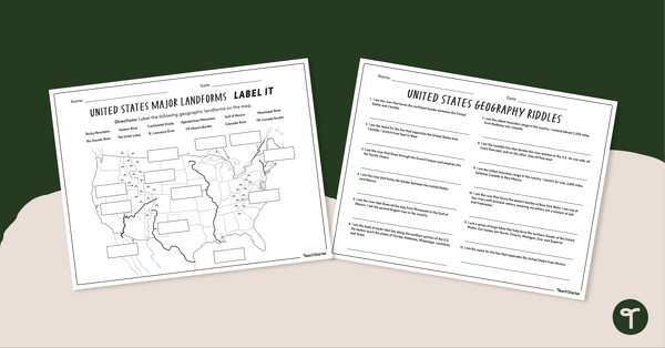
Major U.S. Land Features Worksheets
Discover and identify the major rivers, mountains, and landforms in the United States with an easy-to-use set of worksheets.
- Plus Plan
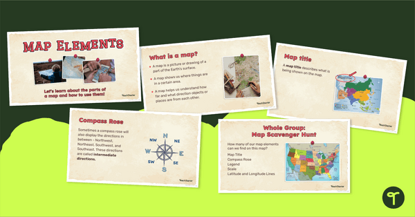
Me on the Map - Map Elements Presentation
Teach the components of a map with a map elements teaching presentation.
- Plus Plan

Latitude and Longitude Banners
Latitude and longitude banners to display in the classroom when studying geography.
- Plus Plan
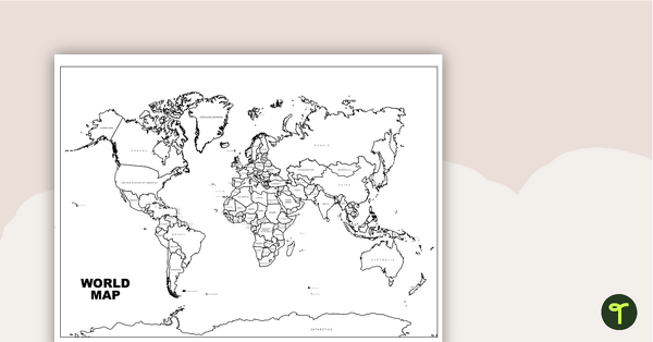
World Map with Countries Labeled
Print a labeled world map for the classroom with the various countries of the world.
- Plus Plan
Exploring How People and Places Affect One Another - Word Wall Cards
63 exploring the affects of people and places vocabulary cards.
- Plus Plan

Map of Washington With Counties and Capital
Download the best printable map of Washington state, including capital city and county lines, for your geography lessons.
- Plus Plan
The World's Oceans - Comprehension Worksheet
Explore the world’s five oceans with this detailed comprehension passage and related questions.
- Plus Plan

Blank Map of Antarctica
Record and represent data about the location of significant places with this printable blank map of the continent of Antarctica.
- Plus Plan

Blank Map of Europe Template (Printable & Digital)
Get a printable & digital blank map of Europe for your continent and oceans lessons!
- Plus Plan
Countries of the World - Geography of India Worksheets
A workbook for students to use their investigation and map skills while learning about civilizations in India.
- Plus Plan

World Biomes Map
Locate and explore the different biomes of the world with this engaging classroom poster.
- Plus Plan
Deciduous Forest Biome Slide Deck
An 11-slide editable PowerPoint to use in the classroom when learning about deciduous forests.
- Plus Plan
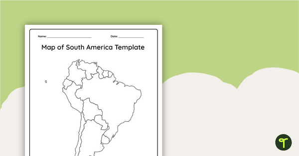
Blank Map of South America
This blank map of South America is perfect for elementary and middle school classes with editable Google Slides and printable PDF versions.
- Plus Plan
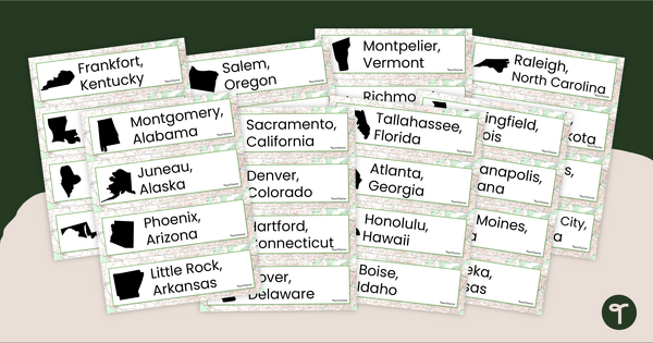
50 States and Capitals Word Wall Cards
Display the 50 states and capitals with 50 states map and word wall display.
- Plus Plan

Printable Map of Native American Tribes of North America
Print and use a detailed map showing the regions of native American tribes.
- Plus Plan
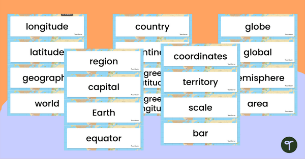
Geography Vocabulary Word Wall Cards
Print a set of 100 geography-related vocabulary word cards for a word wall.
- Plus Plan
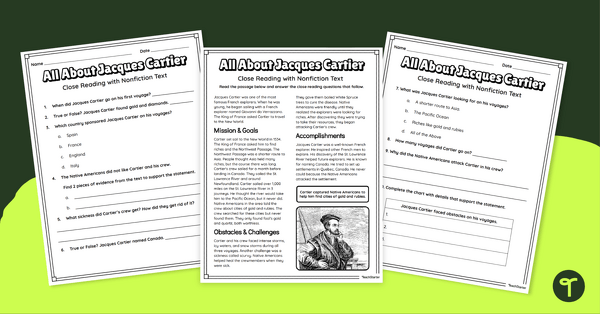
Jacques Cartier Comprehension Worksheets
Travel back in time to the Age of Exploration with a look into the life and accomplishments of Jacques Cartier.
- Plus Plan
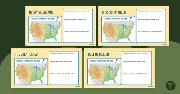
Major U.S. Landform Interactive Research Guide
Research and record facts and details about the different major mountains, rivers, lakes, and other landmarks in the U.S. with an interactive research guide.
- Plus Plan
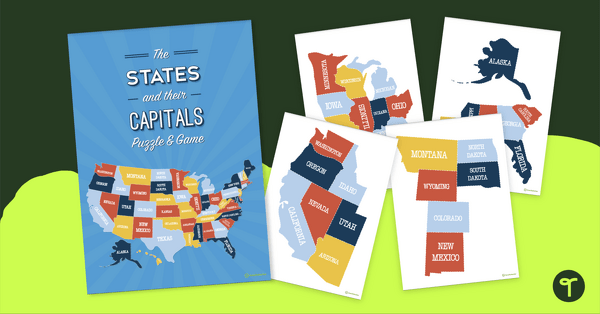
The States and Their Capitals Puzzle
Explore the US states and state capitals with this fun and engaging puzzle.
- Plus Plan
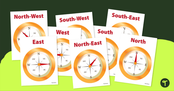
Cardinal and Intermediate Direction Posters - Compass Rose
Display these cardinal and intermediate directions posters when exploring the compass rose with your students.
- Plus Plan
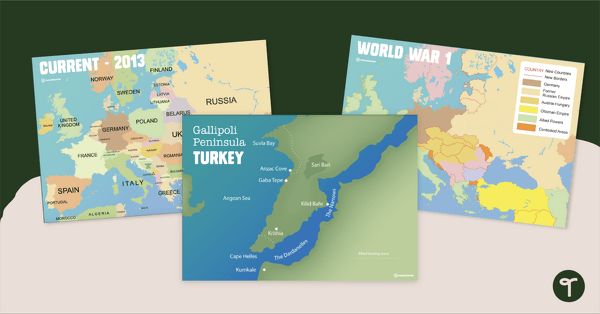
Printable World War 1 Map of Europe
Printable map of Europe and World War 1 to use in the classroom when learning about WW1.
- Plus Plan

13 Colonies Map Labeling Worksheet
Locate and identify the 13 original colonies of the United States with a map labeling worksheet.
- Plus Plan

13 Colonies Map - Blank
Build understanding of Colonial America with a blank 13 colonies map.
- Plus Plan

Google Interactive - Regions of the United States
Practice identifying states in the five regions of the United States with a Google Interactive activity.
- Plus Plan
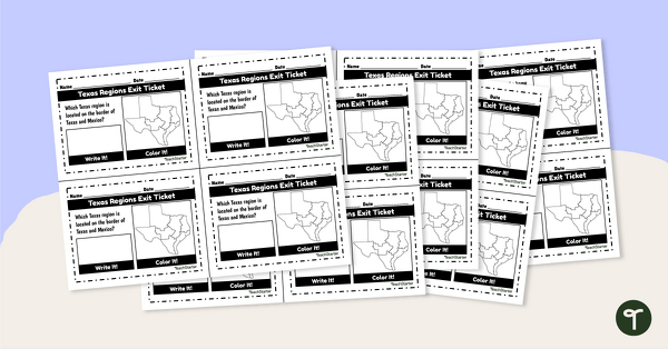
Texas Regions Exit Tickets
Supplement your Regions of Texas lessons with a group of exit tickets.
- Plus Plan
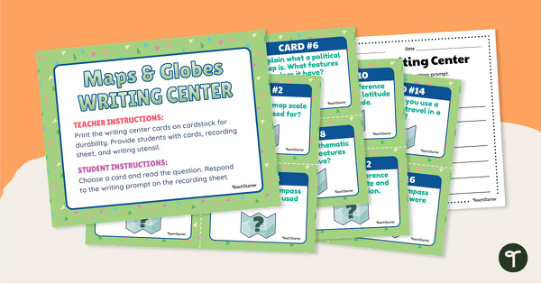
Maps and Globes Writing Center
Blend your Geography and Writing instruction with Maps and Globe Writing prompts for third grade and up.
- Plus Plan
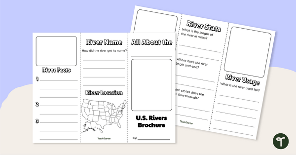
Major U.S. Rivers Brochure Template
Research the major rivers in the United States with a brochure project.
- Plus Plan
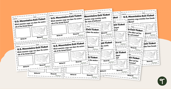
U.S. Mountain and River Exit Tickets
Assess your students’ knowledge of the major rivers and mountains in the United States with a set of exit tickets.
- Plus Plan
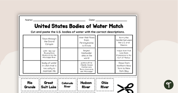
U.S. Geographic Features - Bodies of Water Worksheet
With this worksheet, students will understand reflexive pronouns and how they are used in sentences.
- Plus Plan
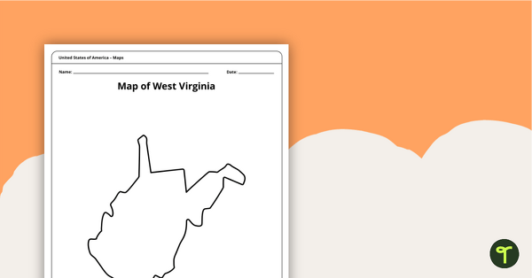
Blank Map of West Virginia Template
A blank map of West Virginia to use during Geography lessons.
- Plus Plan
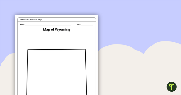
Blank Map of Wyoming Template
Download a blank Wyoming map for your lesson plans, student research projects and more!