US Maps Teaching Resources
Make social studies lesson planning easier with printable US state maps, blank United States maps, activities, worksheets, and more geography teaching resources created for elementary teachers!
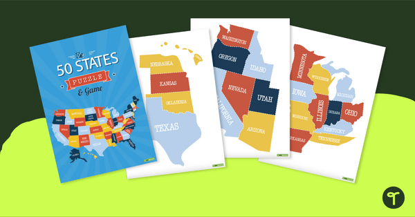
This collection of US maps was designed to give elementary teachers the resources they need to teach about the 50 states, no matter which area of the country they hail from. Included in the collection are:
- One blank map for each of the 50 states of the USA from Alabama to Wyoming
- Blank maps of the original 13 colonies
- Printable maps of the United States today
- And more!
Many of the US maps are featured in black and white for teachers to easily edit to suit their needs, with blank spaces to add in state capitals, major cities, bodies of water, and more. Other blank maps are ready to be printed in color to display in your classroom or incorporate into your geography lessons.
Our Teacher Team's Favorite US Map Activity Ideas for the Classroom
Now that you have your United States maps, how do you incorporate them into your lesson planning? Try any of these activity ideas from our teacher team!
- State Capital Scavenger Hunt — Help your students commit the 50 state capitals to memory! Print a blank map of the United States and a list of state capitals. Students can work in small groups to locate each state capital on the map and mark them with a sticker or highlighter.
- State History Research — Assign each student a state (or allow students to choose from the 50), and have them research and present on that state's history. Students can use a blank map of the state, filling in important cities and landforms.
- USA Road Trip Planner — Work on students' map skills by planning a road trip across the United States, using a map to identify and mark the route they would take. Students can also research and plan stops along the way, such as national parks or famous landmarks.
- Time Zone Challenge — Give each student a map of the United States with the time zones labeled, and have them identify the time in each zone. For an added challenge, have students calculate the time difference between each zone.
- Famous Landmark Project — Assign each student a famous landmark in the United States, and have them create a project that includes a description of the landmark, its location on a map, and fun facts about its history.
- Population Study — Students can use a map of the US and a list of state populations, identifying the states with the highest and lowest populations. Next, they'll create a bar graph to compare the population of different states.
- Abbreviation Challenge — Encourage students to recall the abbreviations of each state by filling in the two letters that represent each state.
